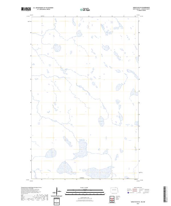
2024 Map of Sarles NE OE N
USGS Topo · Published 2024About this map
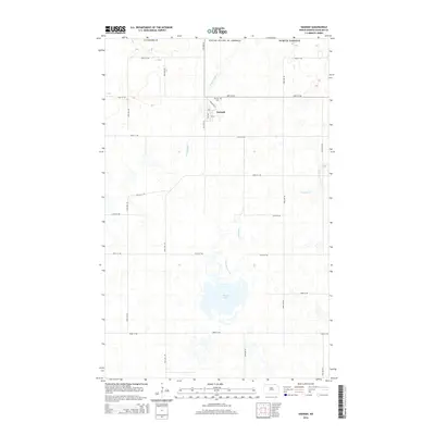
Glacial depressions and wetlands dominate this northern landscape along the international boundary in Cavalier County. This 2024 survey depicts a sparsely developed prairie environment where the most defining human-made feature is the southern border of Canada, stretching across the bottom of the map. The terrain is characterized by numerous small water bodies and seasonal wetlands, reflecting the post-glacial topography typical of this region. Without named settlements or roads identified on this specific sheet, the focus remains on the natural hydrography and the precise demarcation of the international border, providing a clear view of the rural transition into the neighboring country.
Find a feature on this map
1 named feature on this map. Tap any name to fly to it.
Don’t see what you’re looking for? This feature index may not catch every label — zoom into the map to look around manually.
Map Details
Editions of this 2024 Sarles NE OE N Map
This is the sole edition of this map. No revisions or reprints were ever made.
Other maps of this area

1953 · Devils Lake
USGS Topo · 1:250,000

1956 · Devils Lake
USGS Topo · 1:250,000

1970 · Sarles NE
USGS Topo · 1:24,000

1970 · Sarles
USGS Topo · 1:24,000

1970 · Hannah
USGS Topo · 1:24,000

1985 · Langdon
USGS Topo · 1:100,000
2011 · Sarles NE
USGS Topo · 1:24,000
2011 · Hannah
USGS Topo · 1:24,000
2011 · Sarles
USGS Topo · 1:24,000
2014 · Hannah
USGS Topo · 1:24,000