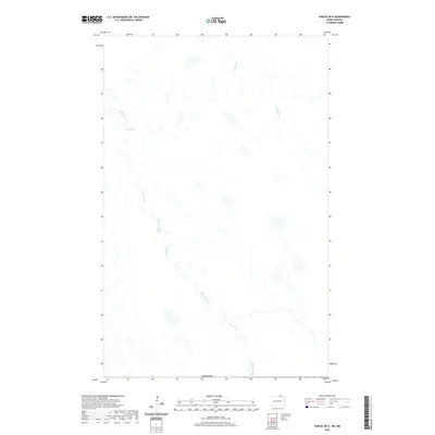
2020 Map of Sarles OE N
USGS Topo · Published 2020About this map
The borderlands of North Dakota meet the international line of Canada in this 2020 survey of northern Cavalier County. This landscape is defined by its subtle glacial topography and the complex hydrology of the Pembina River basin. The meandering path of Cypress Creek winds through the central and western reaches of the quadrangle, while Crystal Cr drains the northeastern portion of the sheet. Numerous small wetlands and depressions punctuate the terrain, reflecting the prairie pothole character of the region. The map preserves the spatial relationship between these natural waterways and the international boundary, documenting the drainage patterns of this sparsely populated agricultural frontier where water remains the primary geographic anchor.
Find a feature on this map
4 named features on this map. Tap any name to fly to it.
Don’t see what you’re looking for? This feature index may not catch every label — zoom into the map to look around manually.
Map Details
Editions of this 2020 Sarles OE N Map
This is the sole edition of this map. No revisions or reprints were ever made.
Other maps of this area

1953 · Devils Lake
USGS Topo · 1:250,000

1956 · Devils Lake
USGS Topo · 1:250,000

1969 · Rock Lake NE
USGS Topo · 1:24,000

1970 · Sarles NE
USGS Topo · 1:24,000

1970 · Sarles
USGS Topo · 1:24,000

1985 · Langdon
USGS Topo · 1:100,000

1985 · Rock Lake
USGS Topo · 1:100,000
2011 · Rock Lake NE
USGS Topo · 1:24,000
2011 · Sarles NE
USGS Topo · 1:24,000
2011 · Sarles
USGS Topo · 1:24,000