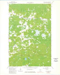
1964 Map of Sassas Creek
USGS Topo · Published 1980About this map
The Sturgeon River and Little Fork River dominate this 1960s landscape in St. Louis County, where the transition between the Superior National Forest and local townships is clearly defined. The terrain is characterized by heavy wetland and low-lying drainages, most notably the Lost Lake Swamp, which covers much of the central and eastern portions of the quadrangle. Human activity is sparse, clustered primarily around small water bodies and unimproved roads that serve the timber and gravel industries, evidenced by numerous Gravel Pits scattered throughout the territory.
Find a feature on this map
15 named features on this map. Tap any name to fly to it.
Don’t see what you’re looking for? This feature index may not catch every label — zoom into the map to look around manually.
Map Details
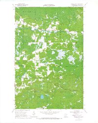
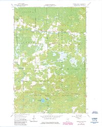
Editions of this 1964 Sassas Creek Map
3 editions found
Other maps of this area

1950 · Biwabik NW
USGS Topo · 1:24,000

1951 · Biwabik NW
USGS Topo · 1:24,000

1951 · Britt
USGS Topo · 1:24,000

1952 · Idington
USGS Topo · 1:24,000

1954 · Hibbing
USGS Topo · 1:250,000

1956 · Vermilion Dam
USGS Topo · 1:24,000

1956 · Lost Lake
USGS Topo · 1:24,000

1957 · Hibbing
USGS Topo · 1:250,000

1958 · Hibbing
USGS Topo · 1:250,000

1964 · Hibbing
USGS Topo · 1:250,000