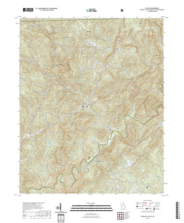
2024 Map of Satolah
USGS Topo · Published 2024About this map
Satolah sits at a geographic crossroads where the boundaries of Georgia, South Carolina, and North Carolina converge. This mountain landscape is defined by the Chattooga River and its numerous tributaries, including Overflow Creek and Reed Mill Creek, which carve through the Chattahoochee National Forest and Sumter National Forest. The map documents a territory of significant genealogical value, noting family-named landmarks like Jim Harden Gap and Willis Knob, alongside numerous small burial grounds such as Burrell Cem and Billingsley Cem.
Find a feature on this map
134 named features on this map. Tap any name to fly to it.
Don’t see what you’re looking for? This feature index may not catch every label — zoom into the map to look around manually.
Map Details
Editions of this 2024 Satolah Map
This is the sole edition of this map. No revisions or reprints were ever made.
Historical Maps of Oconee County Through Time
17 maps found

1935 Hightower Bald
Rabun County, GA

1935 Rabun Bald
Rabun County, GA
1946 Hightower Bald
Rabun County, GA
1946 Rabun Bald
Rabun County, GA
1947 Hightower Bald
Rabun County, GA
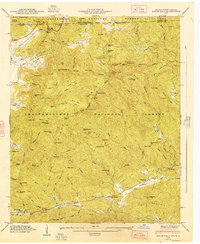
1947 Rabun Bald
Rabun County, GA
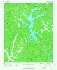
1957 Lake Burton
Rabun County, GA
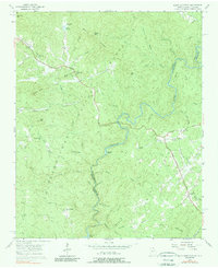
1957 Rainy Mountain
Rabun County, GA
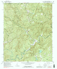
1961 Satolah
Rabun County, GA
1988 Hightower Bald
Rabun County, GA
1988 Rabun Bald
Rabun County, GA
1997 Rainy Mountain
Rabun County, GA
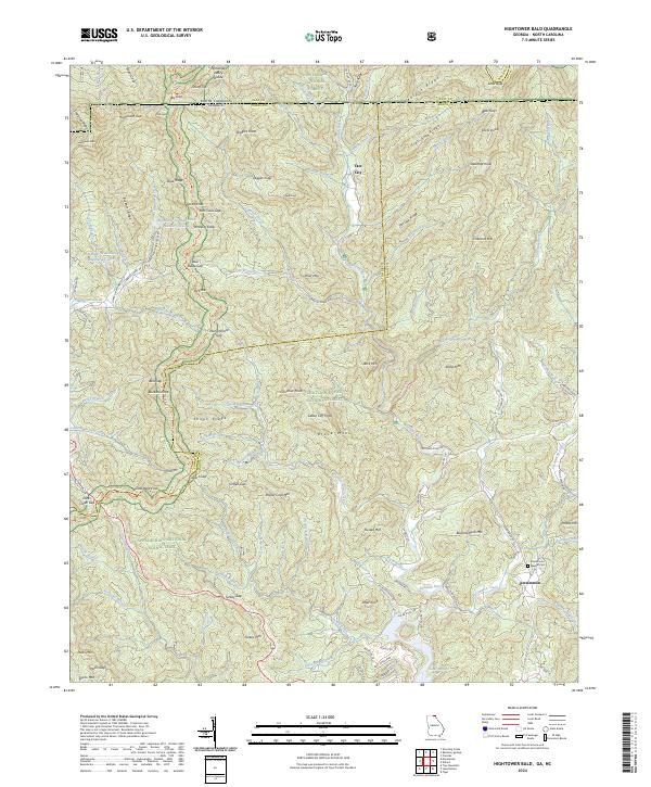
2024 Hightower Bald
Rabun County, GA
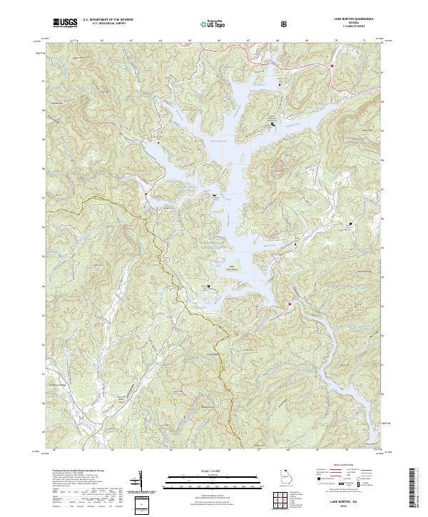
2024 Lake Burton
Rabun County, GA
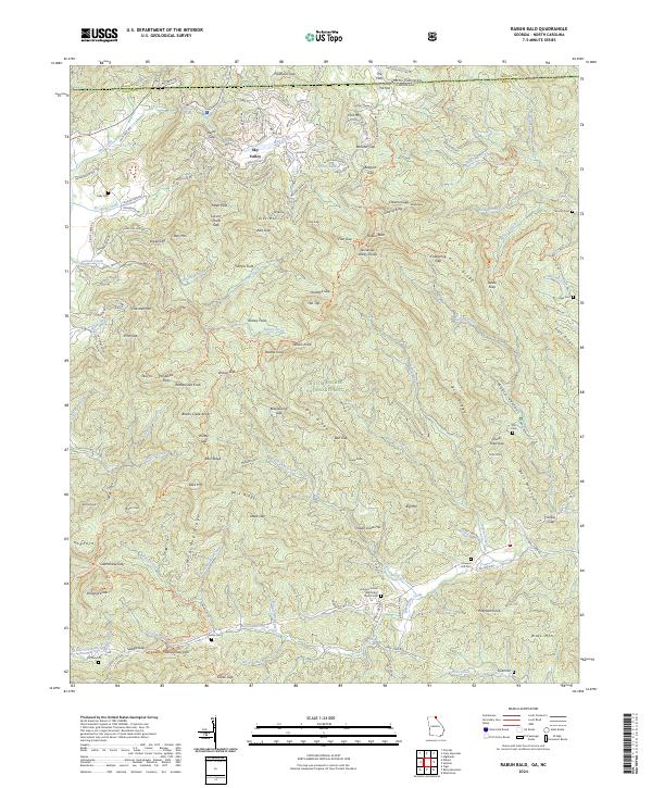
2024 Rabun Bald
Rabun County, GA
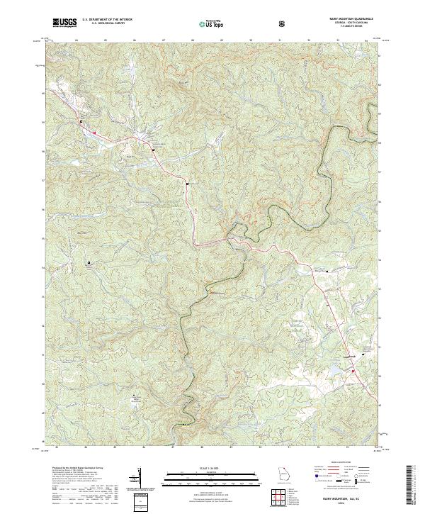
2024 Rainy Mountain
Rabun County, GA
2024 Satolah
Rabun County, GA