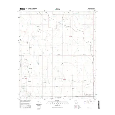
2015 Map of Satsuma
USGS Topo · Published 2015About this map
Walker and the neighboring settlements of Satsuma and Livingston anchor this 2015 study of Livingston Parish, where the suburban expansion of the Baton Rouge corridor meets the intricate creek systems of the Louisiana piney woods. The landscape is defined by the South Fork of Colyell Cr and its numerous tributaries, including Middle Colyell Cr, Hornsby Cr, and Little Beaver Dam Cr. These waterways historically dictated the placement of family homesteads and community burial grounds, many of which remain preserved today.
Find a feature on this map
95 named features on this map. Tap any name to fly to it.
Don’t see what you’re looking for? This feature index may not catch every label — zoom into the map to look around manually.
Map Details
Editions of this 2015 Satsuma Map
This is the sole edition of this map. No revisions or reprints were ever made.
Other maps of this area

1934 · Denham Springs
USGS Topo · 1:62,500

1934 · Springfield
USGS Topo · 1:62,500

1939 · Springfield
USGS Topo · 1:62,500

1939 · Denham Springs
USGS Topo · 1:62,500

1942 · Montpelier
USGS Topo · 1:31,680

1942 · Pine Grove
USGS Topo · 1:31,680

1942 · Pride
USGS Topo · 1:31,680

1942 · Watson
USGS Topo · 1:31,680

1942 · Satsuma
USGS Topo · 1:31,680

1950 · Doyle
USGS Topo · 1:31,680