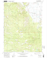
1981 Map of Sattley
USGS Topo · Published 1982About this map
Sattley sits at the edge of the expansive Sierra Valley, serving as a gateway to the high timberlands within the Tahoe National Forest. This 1980s landscape is defined by its historic transit corridors, most notably the high-elevation Yuba Pass and Henness Pass, routes that have historically facilitated movement across the Sierra Nevada. The map documents the industrial and social footprint of the region, including the Nichols Mill (Site) and various borrow and gravel pits that supported local infrastructure.
Find a feature on this map
43 named features on this map. Tap any name to fly to it.
Don’t see what you’re looking for? This feature index may not catch every label — zoom into the map to look around manually.
Map Details
Editions of this 1981 Sattley Map
2 editions found
Other maps of this area

1890 · Sierraville
USGS Topo · 1:125,000

1891 · Downieville
USGS Topo · 1:125,000

1891 · Colfax
USGS Topo · 1:125,000

1891 · Truckee
USGS Topo · 1:125,000

1892 · Sierraville
USGS Topo · 1:125,000

1892 · Colfax
USGS Topo · 1:125,000

1893 · Truckee
USGS Topo · 1:125,000

1893 · Downieville
USGS Topo · 1:125,000

1894 · Colfax
USGS Topo · 1:125,000

1894 · Sierraville
USGS Topo · 1:125,000