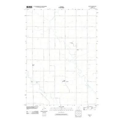
2010 Map of Saude
USGS Topo · Published 2010About this map
Reilly Settlement and the small community of Saude define this agricultural landscape in northeastern Iowa. The area is marked by a deep-rooted Lutheran and Catholic heritage, evidenced by the clustered burial grounds and communal gathering places such as Saude Lutheran Cemetery, Sacred Heart Cemetery, and Bethany Hall. The terrain is drained by the meandering course of Little Turkey Creek, which flows southeast toward its confluence with the Little Turkey River near the hamlet of Zillo. A grid of section-line roads, including Ridgeway Ave and 140th St, organizes the territory, connecting isolated farmsteads and rural institutions like the Immanuel Lutheran Cemetery and Yankee Cemetery. This map documents a stable rural geography where family names on road signs and churchyards preserve the nineteenth-century settlement patterns well into the modern era.
Find a feature on this map
36 named features on this map. Tap any name to fly to it.
Don’t see what you’re looking for? This feature index may not catch every label — zoom into the map to look around manually.
Map Details
Editions of this 2010 Saude Map
This is the sole edition of this map. No revisions or reprints were ever made.
Other maps of this area

1954 · Mason City
USGS Topo · 1:250,000

1957 · Mason City
USGS Topo · 1:250,000

1958 · Mason City
USGS Topo · 1:250,000

1972 · Jerico
USGS Topo · 1:24,000
1972 · New Hampton
USGS Topo · 1:24,000

1981 · Lourdes
USGS Topo · 1:24,000
1981 · Lawler
USGS Topo · 1:24,000
1981 · Saude
USGS Topo · 1:24,000
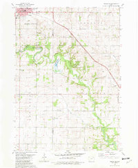
1981 · Cresco SE
USGS Topo · 1:24,000
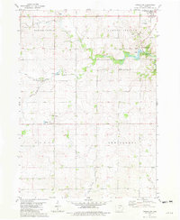
1981 · Cresco SW
USGS Topo · 1:24,000