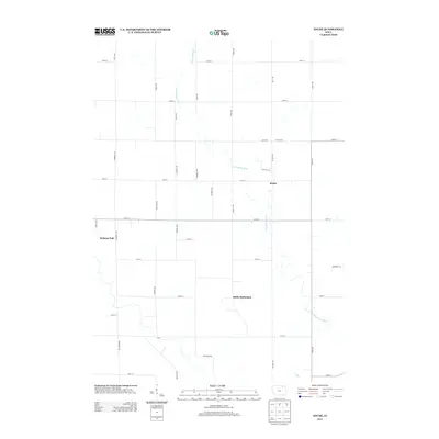
2013 Map of Saude
USGS Topo · Published 2013About this map
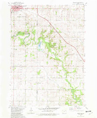
The Reilly Settlement and the crossroads of Saude define the agricultural landscape of northern Chickasaw County in this 2013 survey. The terrain is structured by a rigorous grid of section roads like Quinlan Ave and Pembroke Ave, yet this geometry is frequently interrupted by the winding courses of the Little Turkey River and its tributary, Little Turkey Cr. These watercourses create the few irregular breaks in the rural township pattern, marking the low-lying drainage areas that flow toward the south and east.
Find a feature on this map
37 named features on this map. Tap any name to fly to it.
Don’t see what you’re looking for? This feature index may not catch every label — zoom into the map to look around manually.
Map Details
Editions of this 2013 Saude Map
This is the sole edition of this map. No revisions or reprints were ever made.
Other maps of this area

1954 · Mason City
USGS Topo · 1:250,000

1957 · Mason City
USGS Topo · 1:250,000

1958 · Mason City
USGS Topo · 1:250,000

1972 · Jerico
USGS Topo · 1:24,000
1972 · New Hampton
USGS Topo · 1:24,000

1981 · Lourdes
USGS Topo · 1:24,000
1981 · Lawler
USGS Topo · 1:24,000
1981 · Saude
USGS Topo · 1:24,000
1981 · Cresco SE
USGS Topo · 1:24,000
1981 · Cresco SW
USGS Topo · 1:24,000