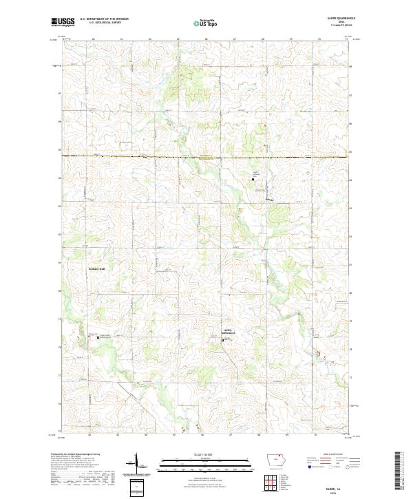
2022 Map of Saude
USGS Topo · Published 2022About this map
Saude and the nearby Reilly Settlement anchor this portrait of the rural landscape along the border of Howard and Chickasaw Counties. The terrain is defined by the winding course of the Little Turkey River and Little Turkey Creek, which cut through a strictly gridded network of section roads like Co Hwy V46 and 120th St. This area reflects a long-standing agricultural tradition, where community life centers on small gathering points and parish grounds. Genealogists will find significant value in the documentation of several local burial sites, including Saude Lutheran Cem, Sacred Heart Cem, Crane Creek Lutheran Cem, and the uniquely named Yankee Cem. The inclusion of Bethany Hall near the center of the sheet further illustrates the distributed nature of social and civic life in this corner of Northeast Iowa.
Find a feature on this map
33 named features on this map. Tap any name to fly to it.
Don’t see what you’re looking for? This feature index may not catch every label — zoom into the map to look around manually.
Map Details
Editions of this 2022 Saude Map
This is the sole edition of this map. No revisions or reprints were ever made.
Other maps of this area

1954 · Mason City
USGS Topo · 1:250,000

1957 · Mason City
USGS Topo · 1:250,000

1958 · Mason City
USGS Topo · 1:250,000

1972 · Jerico
USGS Topo · 1:24,000
1972 · New Hampton
USGS Topo · 1:24,000

1981 · Lourdes
USGS Topo · 1:24,000
1981 · Lawler
USGS Topo · 1:24,000
1981 · Saude
USGS Topo · 1:24,000
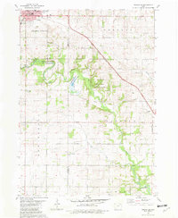
1981 · Cresco SE
USGS Topo · 1:24,000
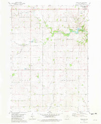
1981 · Cresco SW
USGS Topo · 1:24,000