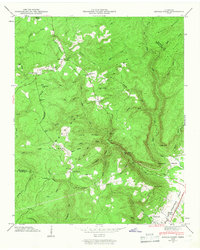
1946 Map of Savage Point
USGS Topo · Published 1946About this map
Dunlap sits at the foot of the eastern escarpment, where the Sequatchie Valley meets the rising terrain of the Cumberland Plateau. This 1946 survey shows a landscape defined by dramatic elevation changes, from the valley floor to the prominent heights of Savage Point and Signal Point. The plateau surface is marked by scattered mountain communities like Cagle and Fredonia, with numerous rural institutions providing focal points for local history research. Genealogists can identify several burial sites and houses of worship, including King Cem, Mg Glothen Cem, and Lands Chapel Cem, alongside Flat Mountain Ch and Yellow Springs Ch. A Lookout Tower atop Price Mountain overlooks the complex drainage systems of Bearwallow Creek and Big Brush Creek, illustrating the remote character of the plateau before modern development.
Find a feature on this map
60 named features on this map. Tap any name to fly to it.
Don’t see what you’re looking for? This feature index may not catch every label — zoom into the map to look around manually.
Map Details
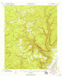
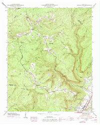
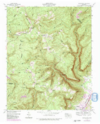
Editions of this 1946 Savage Point Map
4 editions found
Other maps of this area

1888 · Chattanooga
USGS Topo · 1:125,000

1892 · Pikeville
USGS Topo · 1:125,000

1893 · Mc Minnville
USGS Topo · 1:125,000

1893 · Chattanooga
USGS Topo · 1:125,000

1895 · Mc Minnville
USGS Topo · 1:125,000

1895 · Sewanee
USGS Topo · 1:125,000

1895 · Pikeville
USGS Topo · 1:125,000

1935 · Brockdell
USGS Topo · 1:24,000

1935 · Mount Airy
USGS Topo · 1:24,000

1935 · Smart Mountain
USGS Topo · 1:24,000