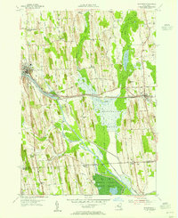
1953 Map of Savannah
USGS Topo · Published 1955About this map
Clyde River and the Erie Canal define the industrial and natural geography of this 1950s landscape, winding through the expansive Montezuma Marsh. The village of Clyde serves as a western anchor, while Savannah marks the eastern edge of the quadrangle, both connected by the heavy rail lines of the New York Central. The map captures a transition in land use, showing the southern reaches of the Montezuma National Wildlife Refuge protecting the wetland environment near Lockpit. Numerous family-named crossroads like White Schoolhouse Corners, Noble Corner, and Munsons Corner are scattered throughout the agricultural uplands. These settlements, often centered around small cemeteries like Herrington Cem and Wiley Cem, illustrate the deeply rooted 19th-century rural framework that persisted into the mid-20th century.
Find a feature on this map
56 named features on this map. Tap any name to fly to it.
Don’t see what you’re looking for? This feature index may not catch every label — zoom into the map to look around manually.
Map Details
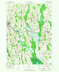
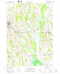
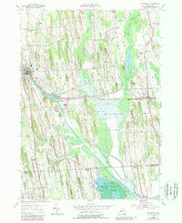
Editions of this 1953 Savannah Map
4 editions found
Other maps of this area

1899 · Auburn
USGS Topo · 1:62,500

1902 · Geneva
USGS Topo · 1:62,500

1902 · Clyde
USGS Topo · 1:62,500

1902 · Weedsport
USGS Topo · 1:62,500

1902 · Auburn
USGS Topo · 1:62,500

1943 · Lyons
USGS Topo · 1:31,680

1943 · Geneva North
USGS Topo · 1:31,680

1943 · Montezuma
USGS Topo · 1:31,680

1943 · Cayuga
USGS Topo · 1:31,680

1943 · Savannah
USGS Topo · 1:31,680