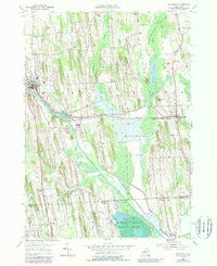
1953 Map of Savannah
USGS Topo · Published 1989About this map
The Clyde River and Erie Canal define the central corridor of this landscape, carving through a region marked by extensive wetlands and glacial drumlins. To the south, the Montezuma National Wildlife Refuge and the expansive Montezuma Marsh dominate the terrain, reflecting the area's importance as a waterfowl habitat and natural barrier. The village of Savannah and the town of Clyde serve as the primary hubs, connected by the Conrail line and historical road networks like the Old Grade.
Find a feature on this map
44 named features on this map. Tap any name to fly to it.
Don’t see what you’re looking for? This feature index may not catch every label — zoom into the map to look around manually.
Map Details
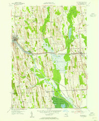
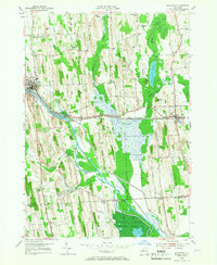
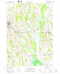
Editions of this 1953 Savannah Map
4 editions found
Other maps of this area

1899 · Auburn
USGS Topo · 1:62,500

1902 · Geneva
USGS Topo · 1:62,500

1902 · Clyde
USGS Topo · 1:62,500

1902 · Weedsport
USGS Topo · 1:62,500

1902 · Auburn
USGS Topo · 1:62,500

1943 · Lyons
USGS Topo · 1:31,680

1943 · Geneva North
USGS Topo · 1:31,680

1943 · Montezuma
USGS Topo · 1:31,680

1943 · Cayuga
USGS Topo · 1:31,680

1943 · Savannah
USGS Topo · 1:31,680