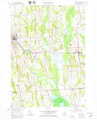
1953 Map of Savannah
USGS Topo · Published 1979About this map
The Montezuma Marsh dominates the southeastern quadrant of this landscape, where the Clyde River and the Erie Canal converge near the Montezuma National Wildlife Refuge. This water-heavy geography dictated the development of central New York transport, as evidenced by the proximity of Conrail tracks and the historic infrastructure at Lock No 26. The map details a network of rural crossroads and family-named landmarks that speak to the region's agricultural roots, including Shepards Corner and Noble Corner. Cultural sites like the Lockpit Cem and White Schoolhouse Corners are mapped alongside natural features like Crusoe Lake and Hogback Ridge. From the village of Clyde in the west to Savannah in the east, the sheet documents the transition from drumlin-dotted hills to the low-lying wetland systems that define the Wayne and Seneca County border.
Find a feature on this map
50 named features on this map. Tap any name to fly to it.
Don’t see what you’re looking for? This feature index may not catch every label — zoom into the map to look around manually.
Map Details
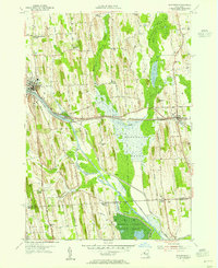
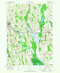
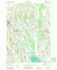
Editions of this 1953 Savannah Map
4 editions found
Other maps of this area

1899 · Auburn
USGS Topo · 1:62,500

1902 · Geneva
USGS Topo · 1:62,500

1902 · Clyde
USGS Topo · 1:62,500

1902 · Weedsport
USGS Topo · 1:62,500

1902 · Auburn
USGS Topo · 1:62,500

1943 · Lyons
USGS Topo · 1:31,680

1943 · Geneva North
USGS Topo · 1:31,680

1943 · Montezuma
USGS Topo · 1:31,680

1943 · Cayuga
USGS Topo · 1:31,680

1943 · Savannah
USGS Topo · 1:31,680