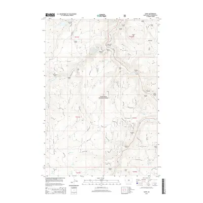
2015 Map of Savoy
USGS Topo · Published 2015About this map
Spearfish Creek carves a deep path through the heart of the Black Hills National Forest, defining the settlement patterns of this corner of Lawrence County. The village of Savoy sits at the confluence of several drainages, serving as a hub for the various forest roads that wind through the timbered terrain. This 2015 edition highlights the persistence of water resources in a landscape marked by numerous springs and gulches, including the famously named What the Hell Spring and the tranquil Iron Creek Lake.
Find a feature on this map
68 named features on this map. Tap any name to fly to it.
Don’t see what you’re looking for? This feature index may not catch every label — zoom into the map to look around manually.
Map Details
Editions of this 2015 Savoy Map
This is the sole edition of this map. No revisions or reprints were ever made.
Other maps of this area

1894 · Deadwood
USGS Topo · 1:125,000

1898 · Sundance
USGS Topo · 1:125,000

1900 · Spearfish
USGS Topo · 1:62,500

1901 · Deadwood
USGS Topo · 1:125,000

1902 · Sundance
USGS Topo · 1:125,000

1915 · Spearfish
USGS Topo · 1:62,500

1916 · Deadwood
USGS Topo · 1:125,000

1953 · Rapid City
USGS Topo · 1:250,000

1954 · Gillette
USGS Topo · 1:250,000

1955 · Gillette
USGS Topo · 1:250,000