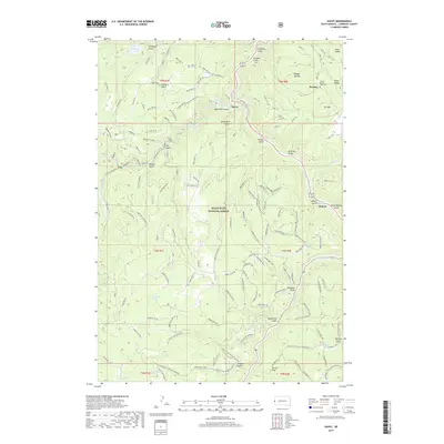
2017 Map of Savoy
USGS Topo · Published 2017About this map
Black Hills National Forest defines the rugged topography of this Lawrence County landscape, centered on the dramatic descent of Spearfish Canyon. The map details a transition from the high-altitude landmarks of Ragged Top Mtn and Elk Mtn down into the narrow corridors of Spearfish Cr. This area is historically significant for its early mining and logging settlements, most notably at the Preston site, which includes the Preston Ghost Town Cem. Water sources are abundant and curiously named, ranging from the well-known Spearfish Falls and Roughlock Falls to the remote What the Hell Spring and Dead Ox Spring. The network of timber roads and gulches like Hellsgate Gulch and Calamity Gulch illustrates the difficult terrain that shaped the development of communities like Savoy and Elmore.
Find a feature on this map
144 named features on this map. Tap any name to fly to it.
Don’t see what you’re looking for? This feature index may not catch every label — zoom into the map to look around manually.
Map Details
Editions of this 2017 Savoy Map
This is the sole edition of this map. No revisions or reprints were ever made.
Other maps of this area

1894 · Deadwood
USGS Topo · 1:125,000

1898 · Sundance
USGS Topo · 1:125,000

1900 · Spearfish
USGS Topo · 1:62,500

1901 · Deadwood
USGS Topo · 1:125,000

1902 · Sundance
USGS Topo · 1:125,000

1915 · Spearfish
USGS Topo · 1:62,500

1916 · Deadwood
USGS Topo · 1:125,000

1953 · Rapid City
USGS Topo · 1:250,000

1954 · Gillette
USGS Topo · 1:250,000

1955 · Gillette
USGS Topo · 1:250,000