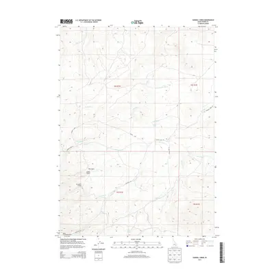
2013 Map of Sawmill Creek
USGS Topo · Published 2013About this map
The Deep Creek Mountains dominate this high-altitude landscape in Idaho’s Power County, defined by a complex network of seasonal drainages and canyons. Water sources are critical identifiers in this arid high country, with named features such as Fisher Spring, Study Spring, and Sawmill Spring providing vital points of reference. The terrain is marked by significant geographic depressions including Bowen Canyon, Dry Canyon, and Swede Canyon, which channel runoff into larger systems like Sawmill Cr and Moonshine Cr.
Find a feature on this map
24 named features on this map. Tap any name to fly to it.
Don’t see what you’re looking for? This feature index may not catch every label — zoom into the map to look around manually.
Map Details
Editions of this 2013 Sawmill Creek Map
This is the sole edition of this map. No revisions or reprints were ever made.
Other maps of this area

1934 · American Falls
USGS Topo · 1:62,500

1934 · Michaud
USGS Topo · 1:62,500

1934 · Rockland
USGS Topo · 1:62,500

1936 · American Falls
USGS Topo · 1:62,500

1937 · Rockland
USGS Topo · 1:62,500

1937 · Michaud
USGS Topo · 1:62,500

1938 · Pauline
USGS Topo · 1:48,000

1944 · Arbon
USGS Topo · 1:62,500

1954 · Pocatello
USGS Topo · 1:250,000

1958 · Pocatello
USGS Topo · 1:250,000