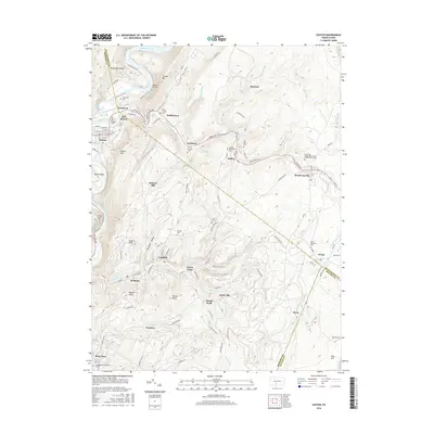
2016 Map of Saxton
USGS Topo · Published 2016About this map
The Raystown Branch Juniata River and its northern reach into Raystown Lake anchor this 2016 study of the Broad Top coal region in Pennsylvania. The map reveals a dense network of mountain settlements that historically supported the local mining industry, including Saxton, Coalmont, and Dudley. These towns follow the contours of the landscape, nestled between the prominent heights of Terrace Mtn and Saxton Mtn.
Find a feature on this map
102 named features on this map. Tap any name to fly to it.
Don’t see what you’re looking for? This feature index may not catch every label — zoom into the map to look around manually.
Map Details
Editions of this 2016 Saxton Map
This is the sole edition of this map. No revisions or reprints were ever made.
Other maps of this area

1900 · Everett
USGS Topo · 1:62,500

1901 · Huntingdon
USGS Topo · 1:62,500

1902 · Everett
USGS Topo · 1:62,500

1902 · Hollidaysburg
USGS Topo · 1:62,500

1903 · Hollidaysburg
USGS Topo · 1:62,500

1904 · Huntingdon
USGS Topo · 1:62,500

1930 · Broad Top
USGS Topo · 1:62,500

1933 · Broad Top
USGS Topo · 1:62,500

1953 · Pittsburgh
USGS Topo · 1:250,000

1954 · Pittsburgh
USGS Topo · 1:250,000