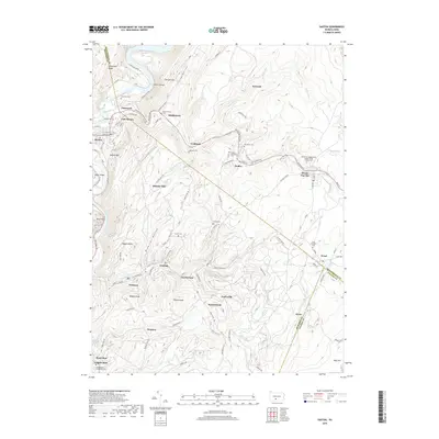
2019 Map of Saxton
USGS Topo · Published 2019About this map
The Raystown Branch Juniata River flows through the western edge of this territory, where the borough of Saxton and adjacent East Saxton sit at the base of Saxton Mtn. The landscape is defined by the steep ridges of Terrace Mtn and Allegris Ridge, with small mining and railway settlements like Coalmont, Dudley, and Broad Top City tucked into the narrow valleys. This area is a significant focal point for genealogical research, containing numerous family and denominational burial grounds including the Rhoat Family Cem, Saint Michaels Cem, and the Broad Top Independent Order of Odd Fellows Cem.
Find a feature on this map
112 named features on this map. Tap any name to fly to it.
Don’t see what you’re looking for? This feature index may not catch every label — zoom into the map to look around manually.
Map Details
Editions of this 2019 Saxton Map
This is the sole edition of this map. No revisions or reprints were ever made.
Other maps of this area

1900 · Everett
USGS Topo · 1:62,500

1901 · Huntingdon
USGS Topo · 1:62,500

1902 · Everett
USGS Topo · 1:62,500

1902 · Hollidaysburg
USGS Topo · 1:62,500

1903 · Hollidaysburg
USGS Topo · 1:62,500

1904 · Huntingdon
USGS Topo · 1:62,500

1930 · Broad Top
USGS Topo · 1:62,500

1933 · Broad Top
USGS Topo · 1:62,500

1953 · Pittsburgh
USGS Topo · 1:250,000

1954 · Pittsburgh
USGS Topo · 1:250,000