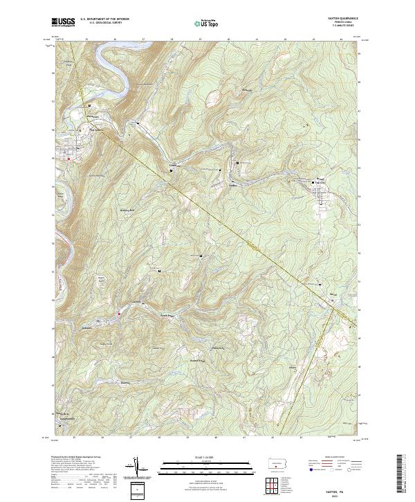
2023 Map of Saxton
USGS Topo · Published 2023About this map
Saxton Mountain and Terrace Mountain dominate this central Pennsylvania landscape, where the confluence of steep ridges and winding waterways shaped a network of small coal and industrial settlements. The village of Saxton sits along the Raystown Branch Juniata River, serving as a gateway to the complex terrain of the Broad Top region. To the east, the map reveals a dense cluster of historic communities including Coalmont, Dudley, and Broad Top City, all linked by a legacy of mountain extraction.
Find a feature on this map
95 named features on this map. Tap any name to fly to it.
Don’t see what you’re looking for? This feature index may not catch every label — zoom into the map to look around manually.
Map Details
Editions of this 2023 Saxton Map
This is the sole edition of this map. No revisions or reprints were ever made.
Other maps of this area

1900 · Everett
USGS Topo · 1:62,500

1901 · Huntingdon
USGS Topo · 1:62,500

1902 · Everett
USGS Topo · 1:62,500

1902 · Hollidaysburg
USGS Topo · 1:62,500

1903 · Hollidaysburg
USGS Topo · 1:62,500

1904 · Huntingdon
USGS Topo · 1:62,500

1930 · Broad Top
USGS Topo · 1:62,500

1933 · Broad Top
USGS Topo · 1:62,500

1953 · Pittsburgh
USGS Topo · 1:250,000

1954 · Pittsburgh
USGS Topo · 1:250,000