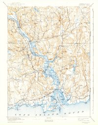
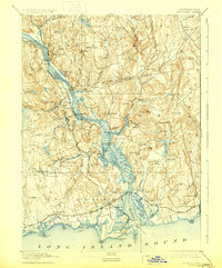
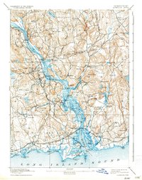
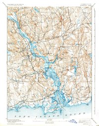
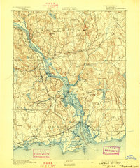
1893 Map of Saybrook
USGS Topo · Published 1942About this map
The Connecticut River dominates this late-nineteenth-century landscape, serving as a vital artery for the river-and-rail economy connecting inland villages to the Long Island Sound. Transport hubs like Saybrook Junction and Hadlyme Sta. reveal the impact of the Valley Division and Shore Line Division railroads, which facilitated the growth of industrial and maritime centers.
Find a feature on this map
126 named features on this map. Tap any name to fly to it.
Don’t see what you’re looking for? This feature index may not catch every label — zoom into the map to look around manually.
Map Details
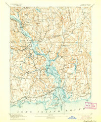
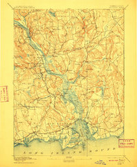
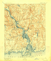
Editions of this 1893 Saybrook Map
8 editions found
Other maps of this area

1892 · New London
USGS Topo · 1:62,500

1892 · Norwich
USGS Topo · 1:62,500

1892 · Gilead
USGS Topo · 1:62,500

1893 · Guilford
USGS Topo · 1:62,500

1893 · Middletown
USGS Topo · 1:62,500

1893 · New London
USGS Topo · 1:62,500
1893 · Saybrook
USGS Topo · 1:62,500

1903 · Gardiners Island
USGS Topo · 1:62,500

1904 · Gardiners Island
USGS Topo · 1:62,500

1906 · Farmington
USGS Topo · 1:125,000