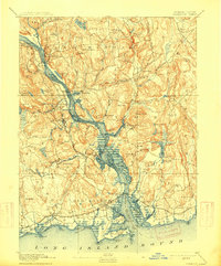
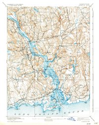
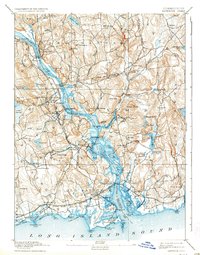
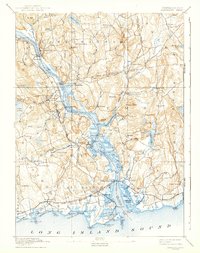
1893 Map of Saybrook
USGS Topo · Published 1915About this map
Old Saybrook and the surrounding river towns stand at the confluence of the Connecticut River and Long Island Sound, documented here during a period of established rail and maritime commerce. The Shore Line Division New York New Haven and Hartford railroad cuts across the southern coastline, connecting hubs like Saybrook Junction and South Lyme Station. Further inland, the river remains the primary artery for transit, evidenced by numerous landings such as Goodspeeds Landing and Elys Wharf. The industrial and agricultural character of late 19th-century Connecticut is visible in the clusters of settlements like Ivoryton, known for its manufacturing roots, and Moodus, which sits near the namesake Moodus River. From the heights of Mt Parnassus to the low-lying Thatchbed Id, the map details a landscape of tide-water marshes, rolling hills, and a dense network of family-named points and coves.
Find a feature on this map
117 named features on this map. Tap any name to fly to it.
Don’t see what you’re looking for? This feature index may not catch every label — zoom into the map to look around manually.
Map Details
Editions of this 1893 Saybrook Map
8 editions found
Other maps of this area

1892 · New London
USGS Topo · 1:62,500

1892 · Norwich
USGS Topo · 1:62,500

1892 · Gilead
USGS Topo · 1:62,500

1893 · Guilford
USGS Topo · 1:62,500

1893 · Middletown
USGS Topo · 1:62,500

1893 · New London
USGS Topo · 1:62,500

1893 · Saybrook
USGS Topo · 1:62,500

1903 · Gardiners Island
USGS Topo · 1:62,500

1904 · Gardiners Island
USGS Topo · 1:62,500

1906 · Farmington
USGS Topo · 1:125,000