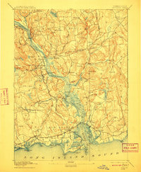
1893 Map of Saybrook
USGS Topo · Published 1910About this map
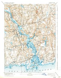
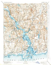
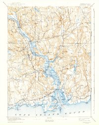
The Connecticut River dominates this late-nineteenth-century landscape, serving as a vital artery for both river traffic and rail connections. Maritime activity is evident at Goodspeed Landing, Hadlyme Landing, and Elys Wharf, while the New York New Haven and Hartford Railroad links shore communities like Westbrook and Old Saybrook. Inland, the terrain is defined by a dense network of hills such as Mt Parnassus and Nickerson Hill, interspersed with manufacturing and residential hubs like Ivoryton and Deep River. The coastal reaches show the early development of Fenwick and the protective Saybrook Jetties, marking the transition from the river's mouth into the sound. Small villages like Millington and North Plains illustrate the rural character of the uplands before modern expansion.
Find a feature on this map
116 named features on this map. Tap any name to fly to it.
Don’t see what you’re looking for? This feature index may not catch every label — zoom into the map to look around manually.
Map Details
Editions of this 1893 Saybrook Map
8 editions found
Other maps of this area

1892 · New London
USGS Topo · 1:62,500

1892 · Norwich
USGS Topo · 1:62,500

1892 · Gilead
USGS Topo · 1:62,500

1893 · Guilford
USGS Topo · 1:62,500

1893 · Middletown
USGS Topo · 1:62,500

1893 · New London
USGS Topo · 1:62,500

1893 · Saybrook
USGS Topo · 1:62,500

1903 · Gardiners Island
USGS Topo · 1:62,500

1904 · Gardiners Island
USGS Topo · 1:62,500

1906 · Farmington
USGS Topo · 1:125,000