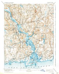
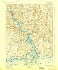
1893 Map of Saybrook
USGS Topo · Published 1936About this map
The Connecticut River serves as the central artery for commerce and travel in this late nineteenth-century survey, dividing Middlesex and New London counties. River-based industry and maritime infrastructure are evident through features like Goodspeeds Landing, Hadlyme Landing, and Elys Wharf, alongside several ferry points and a Post Light. The maritime character of the coastline is further defined by the Saybrook Jetties and the distinct transition from the river mouth into Long Island Sound.
Find a feature on this map
126 named features on this map. Tap any name to fly to it.
Don’t see what you’re looking for? This feature index may not catch every label — zoom into the map to look around manually.
Map Details
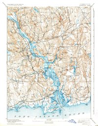
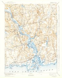
Editions of this 1893 Saybrook Map
8 editions found
Other maps of this area

1892 · New London
USGS Topo · 1:62,500

1892 · Norwich
USGS Topo · 1:62,500

1892 · Gilead
USGS Topo · 1:62,500

1893 · Guilford
USGS Topo · 1:62,500

1893 · Middletown
USGS Topo · 1:62,500

1893 · New London
USGS Topo · 1:62,500

1893 · Saybrook
USGS Topo · 1:62,500

1903 · Gardiners Island
USGS Topo · 1:62,500

1904 · Gardiners Island
USGS Topo · 1:62,500

1906 · Farmington
USGS Topo · 1:125,000