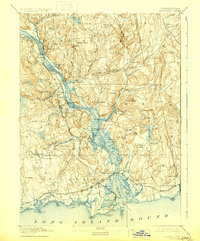
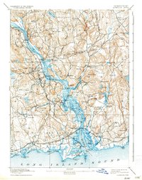
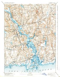
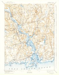
1893 Map of Saybrook
USGS Topo · Published 1929About this map
The Connecticut River serves as the central artery of this late 19th-century coastal landscape, where maritime trade and early rail lines intersect. Along the riverbanks, prominent features like Goodspeeds Landing, Hadlyme Landing, and Elys Wharf denote the importance of waterborne transport before modern infrastructure took hold. Inland, the topography is defined by significant elevations such as Mt Parnassus and Bald Hill, interspersed with manufacturing and industrial hubs like Ivoryton, known for its ivory manufacturing heritage, and Center Brook.
Find a feature on this map
113 named features on this map. Tap any name to fly to it.
Don’t see what you’re looking for? This feature index may not catch every label — zoom into the map to look around manually.
Map Details
Editions of this 1893 Saybrook Map
8 editions found
Other maps of this area

1892 · New London
USGS Topo · 1:62,500

1892 · Norwich
USGS Topo · 1:62,500

1892 · Gilead
USGS Topo · 1:62,500

1893 · Guilford
USGS Topo · 1:62,500

1893 · Middletown
USGS Topo · 1:62,500

1893 · New London
USGS Topo · 1:62,500

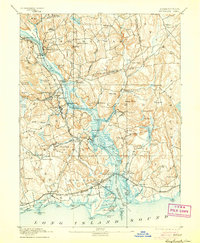
1893 · Saybrook
USGS Topo · 1:62,500

1903 · Gardiners Island
USGS Topo · 1:62,500

1904 · Gardiners Island
USGS Topo · 1:62,500

1906 · Farmington
USGS Topo · 1:125,000