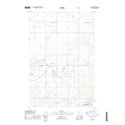
2020 Map of Schafer
USGS Topo · Published 2020About this map
Watford City serves as a focal point of this McKenzie County landscape, where modern residential development like Buffalo Hills Dr and Hunters Run St meets the open range. The transition from town to prairie is marked by the Watford City Municipal Airport and the nearby Schafer Cem, which stands as a quiet reminder of local heritage near the settlement of Schafer. This area is defined by the winding paths of Cherry Cr and its tributaries, including Northfork Cr, which carve through the high plains.
Find a feature on this map
44 named features on this map. Tap any name to fly to it.
Don’t see what you’re looking for? This feature index may not catch every label — zoom into the map to look around manually.
Map Details
Editions of this 2020 Schafer Map
This is the sole edition of this map. No revisions or reprints were ever made.
Other maps of this area

1953 · Watford City
USGS Topo · 1:250,000

1957 · Watford City
USGS Topo · 1:250,000
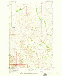
1958 · Tepee Buttes
USGS Topo · 1:24,000
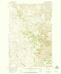
1959 · Lone Butte NW
USGS Topo · 1:24,000
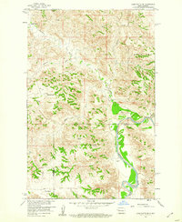
1959 · Lone Butte NE
USGS Topo · 1:24,000

1967 · Watford City
USGS Topo · 1:250,000
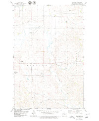
1978 · Schafer
USGS Topo · 1:24,000
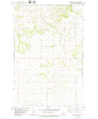
1978 · Watford City NE
USGS Topo · 1:24,000
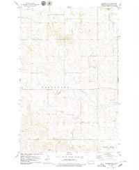
1978 · Schafer SE
USGS Topo · 1:24,000
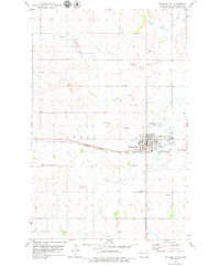
1978 · Watford City
USGS Topo · 1:24,000