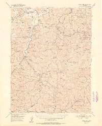
1952 Map of Schell Mtn.
USGS Topo · Published 1952About this map
Trinity River gold bars and timber mill sites anchor this 1952 topographic study of the divide between Trinity and Shasta counties. The map captures an era of active land use within the Trinity National Forest and Shasta National Forest, where high-elevation grazing camps like Heavey Sheep Camp and Sugar Pine Sheep Camp operate alongside valley floor settlements. Family-run operations are prominent, including the Greenisen Ranch, Scott Ranch, and Linton Ranch, while the presence of the Lamoine Mill Site and scattered mine shafts indicate the region's industrial foundations.
Find a feature on this map
146 named features on this map. Tap any name to fly to it.
Don’t see what you’re looking for? This feature index may not catch every label — zoom into the map to look around manually.
Map Details
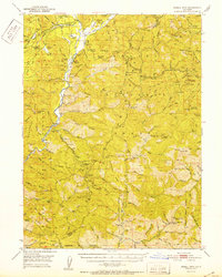
Editions of this 1952 Schell Mtn. Map
2 editions found
Other maps of this area

1886 · Shasta
USGS Topo · 1:250,000

1890 · Red Bluff
USGS Topo · 1:250,000

1894 · Red Bluff
USGS Topo · 1:250,000

1894 · Shasta
USGS Topo · 1:250,000

1901 · Redding
USGS Topo · 1:125,000

1913 · Weaverville
USGS Topo · 1:125,000

1923 · Sawyers Bar
USGS Topo · 1:125,000

1931 · Etna
USGS Topo · 1:96,000

1934 · Etna
USGS Topo · 1:125,000

1935 · Dunsmuir
USGS Topo · 1:125,000