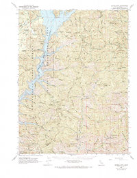
1950 Map of Schell Mtn
USGS Topo · Published 1968About this map
Shasta National Forest and Trinity National Forest dominate this mid-century landscape, where the high ridges of the Klamath Mountains meet the water. The survey captures the area during the development of the Whiskeytown-Shasta-Trinity National Recreation Area, specifically the Clair Engle-Lewiston Unit where the river and lake define the western boundary. This era marks a transition from resource extraction to managed recreation, as evidenced by the mix of historical industrial sites like the Lamoine Mill Site and Star Mine alongside newer leisure infrastructure like the Clear Creek Camp Ground.
Find a feature on this map
108 named features on this map. Tap any name to fly to it.
Don’t see what you’re looking for? This feature index may not catch every label — zoom into the map to look around manually.
Map Details
Editions of this 1950 Schell Mtn Map
2 editions found

Other maps of this area

1886 · Shasta
USGS Topo · 1:250,000

1890 · Red Bluff
USGS Topo · 1:250,000

1894 · Red Bluff
USGS Topo · 1:250,000

1894 · Shasta
USGS Topo · 1:250,000

1901 · Redding
USGS Topo · 1:125,000

1913 · Weaverville
USGS Topo · 1:125,000

1923 · Sawyers Bar
USGS Topo · 1:125,000

1931 · Etna
USGS Topo · 1:96,000

1934 · Etna
USGS Topo · 1:125,000

1935 · Dunsmuir
USGS Topo · 1:125,000