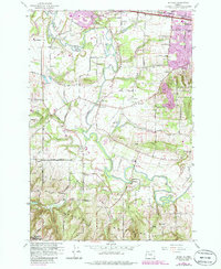
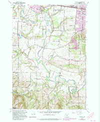
1961 Map of Scholls
USGS Topo · Published 1985About this map
The Tualatin River meanders through this portion of Washington County, defining a landscape shaped by the transition from the fertile lowlands of Jackson Bottom to the rising slopes of the Chehalem Mountains. In the early 1960s, rural life centered around local hubs like Scholls, Farmington, and Reedville, where the presence of the Grange Hall and community anchors such as Witch Hazel School and Groner Sch reflect the area’s agricultural roots. Transportation and industry were tied to the Southern Pacific railroad line in the north and small-scale infrastructure like the Landing Strip and Jackson Reservoir. While much of the land remained dedicated to farming, recreational shifts were beginning to appear, evidenced by the Meriwether Golf Course and residential growth near Cooper Mountain and Hazeldale.
Find a feature on this map
55 named features on this map. Tap any name to fly to it.
Don’t see what you’re looking for? This feature index may not catch every label — zoom into the map to look around manually.
Map Details
Editions of this 1961 Scholls Map
5 editions found
Other maps of this area

1915 · Hillsboro
USGS Topo · 1:62,500

1916 · Tualatin
USGS Topo · 1:62,500

1918 · Hillsboro
USGS Topo · 1:62,500

1939 · Tualatin
USGS Topo · 1:62,500

1940 · Tualatin
USGS Topo · 1:62,500

1940 · Hillsboro
USGS Topo · 1:62,500

1941 · Gales Creek
USGS Topo · 1:62,500

1941 · Yamhill
USGS Topo · 1:62,500

1942 · Yamhill
USGS Topo · 1:62,500

1948 · Vancouver
USGS Topo · 1:250,000