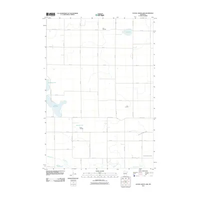
2010 Map of School Grove Lake
USGS Topo · Published 2010About this map
School Grove Lake and a series of seasonal basins define this agricultural pocket of Lyon County. The landscape is marked by the transition of water into tillable land, seen clearly in the labeling of the Twin Lake Bed and Goose Lake Bed. This drainage is managed by a network of engineered waterways, including Judicial Ditch Number Three and County Ditch Number Ninetytwo, which redirect runoff toward the Redwood River in the south.
Find a feature on this map
43 named features on this map. Tap any name to fly to it.
Don’t see what you’re looking for? This feature index may not catch every label — zoom into the map to look around manually.
Map Details
Editions of this 2010 School Grove Lake Map
This is the sole edition of this map. No revisions or reprints were ever made.
Other maps of this area

1953 · New Ulm
USGS Topo · 1:250,000

1957 · New Ulm
USGS Topo · 1:250,000

1958 · New Ulm
USGS Topo · 1:250,000

1962 · Wood Lake NW
USGS Topo · 1:24,000

1962 · Dudley
USGS Topo · 1:24,000

1962 · Cottonwood
USGS Topo · 1:24,000

1962 · School Grove Lake
USGS Topo · 1:24,000

1962 · Wood Lake
USGS Topo · 1:24,000

1962 · Milroy
USGS Topo · 1:24,000

1965 · Echo
USGS Topo · 1:24,000