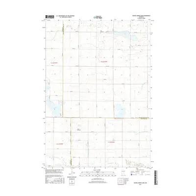
2016 Map of School Grove Lake
USGS Topo · Published 2016About this map
The Redwood River flows through the southern portion of this landscape at the junction of Lyon, Yellow Medicine, and Redwood Counties. This agricultural region is defined by a series of shallow basins and managed waterways, including School Grove Lake and several dry or intermittent features such as Goose Lake Bed and Twin Lake Bed. The presence of these lake beds alongside permanent bodies like Tyson Lake and Timm Lake indicates a variable prairie-pothole hydrology that has been heavily modified for drainage. This adaptation is visible in the extensive network of engineered channels, notably Judicial Ditch Number Three and County Ditch Number Forty-six, which cut across the grid of section-line roads like Co Hwy 46 and 115th Ave.
Find a feature on this map
36 named features on this map. Tap any name to fly to it.
Don’t see what you’re looking for? This feature index may not catch every label — zoom into the map to look around manually.
Map Details
Editions of this 2016 School Grove Lake Map
This is the sole edition of this map. No revisions or reprints were ever made.
Other maps of this area

1953 · New Ulm
USGS Topo · 1:250,000

1957 · New Ulm
USGS Topo · 1:250,000

1958 · New Ulm
USGS Topo · 1:250,000

1962 · Wood Lake NW
USGS Topo · 1:24,000

1962 · Dudley
USGS Topo · 1:24,000

1962 · Cottonwood
USGS Topo · 1:24,000

1962 · School Grove Lake
USGS Topo · 1:24,000

1962 · Wood Lake
USGS Topo · 1:24,000

1962 · Milroy
USGS Topo · 1:24,000

1965 · Echo
USGS Topo · 1:24,000