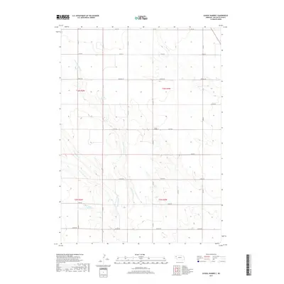
2017 Map of School Number 7
USGS Topo · Published 2017About this map
School Number 7 stands as a central landmark in this portion of Box Butte County, marking a site of local educational history within a landscape of section lines and essential water management. The terrain is defined by the drainage systems of Berea Cr and the various branches of Point of Rocks Cr, which weave through the high plains. Vital to the agricultural character of the region are the Frost Reservoir and Luce Reservoir, which provide necessary water storage in this semi-arid environment. The map details a strictly organized grid of rural roads, including Keith Rd and Madison Rd, which serve the scattered farmsteads and facilitate movement across the township boundaries of T26N and T25N. This survey documents the intersection of natural hydrology and the human imposition of the Public Land Survey System.
Find a feature on this map
26 named features on this map. Tap any name to fly to it.
Don’t see what you’re looking for? This feature index may not catch every label — zoom into the map to look around manually.
Map Details
Editions of this 2017 School Number 7 Map
This is the sole edition of this map. No revisions or reprints were ever made.
Other maps of this area

1946 · Nonpareil
USGS Topo · 1:24,000

1947 · Bronco Lake
USGS Topo · 1:24,000

1948 · Hemingford
USGS Topo · 1:24,000

1948 · Hemingford 4 SW
USGS Topo · 1:24,000

1948 · Hemingford 4 SE
USGS Topo · 1:24,000

1948 · Berea Creek West
USGS Topo · 1:24,000

1948 · Hemingford 4 NE
USGS Topo · 1:24,000

1948 · Hemingford 4 NW
USGS Topo · 1:24,000

1948 · Nonpareil
USGS Topo · 1:24,000

1949 · Box Butte SW
USGS Topo · 1:24,000