
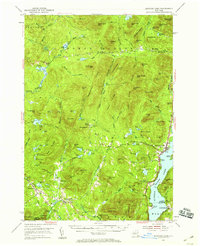
1953 Map of Schroon Lake
USGS Topo · Published 1956About this map
Schroon Lake serves as the focal point of this 1950s survey, anchoring a landscape where the Boreas River and Hudson River wind through the high peaks and notches of Essex and Warren Counties. The settlement at the northern tip of the lake is detailed alongside smaller mountain communities like Minerva, Irishtown, and Olmstedville. These hamlets are marked by essential local landmarks including St Marys Ch and various cemeteries, reflecting the generational footprint of those who worked the woods and waterways of the Adirondacks.
Find a feature on this map
114 named features on this map. Tap any name to fly to it.
Don’t see what you’re looking for? This feature index may not catch every label — zoom into the map to look around manually.
Map Details
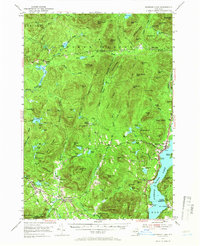
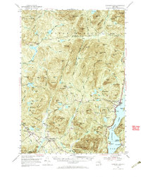
Editions of this 1953 Schroon Lake Map
4 editions found
Other maps of this area

1894 · Elizabethtown
USGS Topo · 1:62,500

1895 · Elizabethtown
USGS Topo · 1:62,500

1895 · North Creek
USGS Topo · 1:62,500

1895 · Mt. Marcy
USGS Topo · 1:62,500

1895 · Paradox Lake
USGS Topo · 1:62,500

1897 · Bolton
USGS Topo · 1:62,500

1897 · Paradox Lake
USGS Topo · 1:62,500

1897 · North Creek
USGS Topo · 1:62,500

1897 · Schroon Lake
USGS Topo · 1:62,500

1898 · Newcomb
USGS Topo · 1:62,500