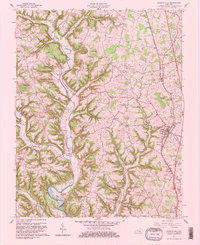
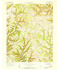
1961 Map of Science Hill
USGS Topo · Published 1981About this map
Fishing Creek and its many winding tributaries like Lick Creek and Hines Branch define this landscape along the border of Pulaski, Lincoln, and Casey Counties. The Southern railroad line runs north to south through the eastern half of the map, anchoring the community of Science Hill and the settlement at Pulaski. This 1961 revision documents a rural economy shaped by agriculture and emerging energy interests, evidenced by a Gas Well near Wilson Hollow. Local genealogy and community history are well-preserved through numerous country churches and burial grounds, including Bethel Ch, Buncombe Ch, and the Science Hill Cem. Educational landmarks like the Hogue Sch and Thurston Sch appear alongside family-named terrain such as Godby Ridge and Dungan Knob, providing a clear view of the area's social geography before late-century development changed the rural character of these Kentucky ridges.
Find a feature on this map
81 named features on this map. Tap any name to fly to it.
Don’t see what you’re looking for? This feature index may not catch every label — zoom into the map to look around manually.
Map Details
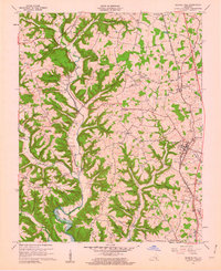
Editions of this 1961 Science Hill Map
2 editions found
Other maps of this area

1935 · Somerset
USGS Topo · 1:62,500

1952 · Eubank
USGS Topo · 1:24,000

1952 · Yosemite
USGS Topo · 1:24,000

1952 · Woodstock
USGS Topo · 1:24,000

1953 · Mintonville
USGS Topo · 1:24,000
1954 · Bobtown
USGS Topo · 1:24,000

1954 · Delmer
USGS Topo · 1:24,000

1954 · Science Hill
USGS Topo · 1:24,000
1954 · Somerset
USGS Topo · 1:24,000
1954 · Faubush
USGS Topo · 1:24,000