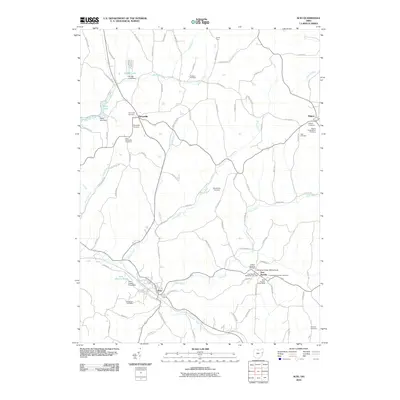
2010 Map of Scio
USGS Topo · Published 2010About this map
New Rumley stands as a focal point of this Eastern Ohio landscape, marked by its namesake New Rumley Post Office and the General Custer Monument. The village is dense with genealogical interest, containing several denominational burial grounds including the New Rumley Methodist Cemetery, United Brethren Cemetery, and Evangelical Lutheran Cemetery. This concentration of institutional markers suggests a well-established community fabric even as the surrounding terrain is defined by the winding paths of Conotton Creek and its many tributaries.
Find a feature on this map
91 named features on this map. Tap any name to fly to it.
Don’t see what you’re looking for? This feature index may not catch every label — zoom into the map to look around manually.
Map Details
Editions of this 2010 Scio Map
This is the sole edition of this map. No revisions or reprints were ever made.
Other maps of this area

1901 · Cadiz
USGS Topo · 1:62,500

1902 · Scio
USGS Topo · 1:62,500

1903 · Cadiz
USGS Topo · 1:62,500

1904 · Scio
USGS Topo · 1:62,500

1905 · Salineville
USGS Topo · 1:62,500

1910 · Carrollton
USGS Topo · 1:62,500

1912 · Carrollton
USGS Topo · 1:62,500

1951 · Canton
USGS Topo · 1:250,000

1953 · Canton
USGS Topo · 1:250,000

1957 · Canton
USGS Topo · 1:250,000