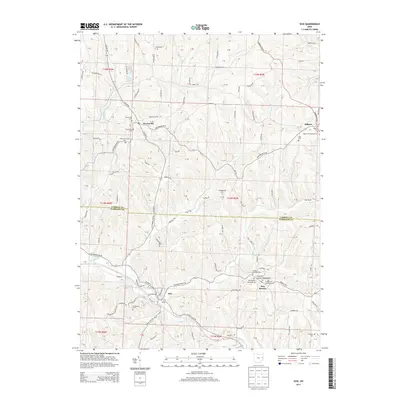
2013 Map of Scio
USGS Topo · Published 2013About this map
General Custer Monument stands in the small community of New Rumley, the birthplace of the Civil War general. This corner of eastern Ohio is defined by its deep historical roots and a topography of steep ridges and winding valleys such as the Dining Fork. In the village of Scio, the Scio Pottery Pond remains a notable landmark of the area's industrial heritage, while the surrounding hills are dotted with family and church cemeteries, including the United Brethren Cem and Grandview Cem. Further north, the settlement of Kilgore is home to the Kilgore Presbyterian Cem, serving as a vital record for genealogists tracing early families in this rural borderland between Carroll and Harrison Counties. The landscape is interconnected by a network of creeks like McGuire Cr and Conotton Cr, which have shaped the settlement patterns of this Appalachian plateau region for generations.
Find a feature on this map
97 named features on this map. Tap any name to fly to it.
Don’t see what you’re looking for? This feature index may not catch every label — zoom into the map to look around manually.
Map Details
Editions of this 2013 Scio Map
This is the sole edition of this map. No revisions or reprints were ever made.
Other maps of this area

1901 · Cadiz
USGS Topo · 1:62,500

1902 · Scio
USGS Topo · 1:62,500

1903 · Cadiz
USGS Topo · 1:62,500

1904 · Scio
USGS Topo · 1:62,500

1905 · Salineville
USGS Topo · 1:62,500

1910 · Carrollton
USGS Topo · 1:62,500

1912 · Carrollton
USGS Topo · 1:62,500

1951 · Canton
USGS Topo · 1:250,000

1953 · Canton
USGS Topo · 1:250,000

1957 · Canton
USGS Topo · 1:250,000