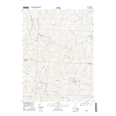
2016 Map of Scio
USGS Topo · Published 2016About this map
New Rumley stands as a focal point in the southern portion of this Harrison County landscape, distinguished as the birthplace of George Armstrong Custer and marked by the General Custer Monument. The village is a cluster of local heritage, featuring the New Rumley Methodist Cem, United Brethren Cem, and Evangelical Lutheran Cem in close proximity. To the northwest, the town of Scio sits along the Conotton Cr near the Scio-Pottery Pond, illustrating the regional pattern of valley-bottom settlements connected by winding township roads.
Find a feature on this map
110 named features on this map. Tap any name to fly to it.
Don’t see what you’re looking for? This feature index may not catch every label — zoom into the map to look around manually.
Map Details
Editions of this 2016 Scio Map
This is the sole edition of this map. No revisions or reprints were ever made.
Other maps of this area

1901 · Cadiz
USGS Topo · 1:62,500

1902 · Scio
USGS Topo · 1:62,500

1903 · Cadiz
USGS Topo · 1:62,500

1904 · Scio
USGS Topo · 1:62,500

1905 · Salineville
USGS Topo · 1:62,500

1910 · Carrollton
USGS Topo · 1:62,500

1912 · Carrollton
USGS Topo · 1:62,500

1951 · Canton
USGS Topo · 1:250,000

1953 · Canton
USGS Topo · 1:250,000

1957 · Canton
USGS Topo · 1:250,000