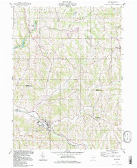
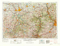
1994 Map of Scio
USGS Topo · Published 1998About this map
Scio sits at the confluence of several valleys in the Harrison County hills, serving as a hub where the Wheeling and Lake Erie railroad tracks follow the winding course of Conotton Creek. This late-twentieth-century update of a 1960s survey illustrates a landscape deeply shaped by resource extraction and commemorative history. To the east, New Rumley is marked by the Gen Custer Mon, noting the birthplace of the famous cavalry commander.
Find a feature on this map
37 named features on this map. Tap any name to fly to it.
Don’t see what you’re looking for? This feature index may not catch every label — zoom into the map to look around manually.
Map Details
Editions of this 1994 Scio Map
This is the sole edition of this map. No revisions or reprints were ever made.
Other maps of this area
1901 · Cadiz
USGS Topo · 1:62,500
1902 · Scio
USGS Topo · 1:62,500
1903 · Cadiz
USGS Topo · 1:62,500
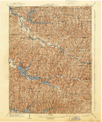
1904 · Scio
USGS Topo · 1:62,500
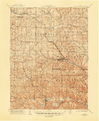
1905 · Salineville
USGS Topo · 1:62,500
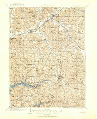
1910 · Carrollton
USGS Topo · 1:62,500
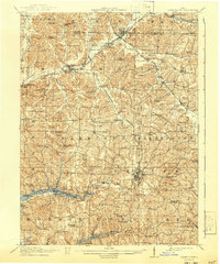
1912 · Carrollton
USGS Topo · 1:62,500

1951 · Canton
USGS Topo · 1:250,000

1953 · Canton
USGS Topo · 1:250,000
1957 · Canton
USGS Topo · 1:250,000