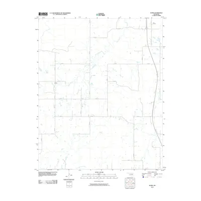
2010 Map of Scipio
USGS Topo · Published 2010About this map
Scipio Creek and its many unnamed tributaries weave through this Pittsburg County landscape, defining the rural character of the region. The map captures a moment in the 21st century where traditional land patterns remain visible despite modern infrastructure. The Indian Nation Tpke cuts through the eastern edge, contrasting with the established network of section roads like Choate Prairie Rd. Local genealogy and history are anchored by two significant burial sites: Ulan Cemetery in the northeast near Ulan Rd and Hughlow Cemetery situated further west. The southern border is marked by the meandering path of Little Wildhorse Creek, illustrating the natural drainage system that has influenced local settlement and agriculture for generations.
Find a feature on this map
22 named features on this map. Tap any name to fly to it.
Don’t see what you’re looking for? This feature index may not catch every label — zoom into the map to look around manually.
Map Details
Editions of this 2010 Scipio Map
This is the sole edition of this map. No revisions or reprints were ever made.
Other maps of this area

1896 · Coalgate
USGS Topo · 1:125,000

1898 · McAlester
USGS Topo · 1:125,000

1899 · Coalgate
USGS Topo · 1:125,000

1900 · Canadian
USGS Topo · 1:125,000

1900 · Wewoka
USGS Topo · 1:125,000

1900 · Coalgate
USGS Topo · 1:125,000

1909 · Mc Alester
USGS Topo · 1:125,000

1946 · Fort Smith
USGS Topo · 1:250,000

1950 · Mcalester
USGS Topo · 1:250,000

1954 · Oklahoma City
USGS Topo · 1:250,000