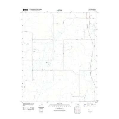
2012 Map of Scipio
USGS Topo · Published 2012About this map
Scipio and Ulan serve as the primary anchors of this rural Oklahoma landscape, where the road network transitions from local section lines to the modern corridor of the Indian Nation Tpke. The terrain is defined by the winding course of Scipio Cr and Little Wildhorse Cr, which carve through the countryside and influence the placement of early infrastructure. For those researching local families, the presence of the Hughlow Cem and Ulan Cem provides essential grounding in the area's settlement history. The map also documents long-standing transit routes such as Choate Prairie Rd and Tannehill Rd, which connect these small communities to the broader pittsburg County region. This 2012 survey captures the mix of traditional cattle-country roads and the high-speed turnpike that defines the modern character of the territory.
Find a feature on this map
29 named features on this map. Tap any name to fly to it.
Don’t see what you’re looking for? This feature index may not catch every label — zoom into the map to look around manually.
Map Details
Editions of this 2012 Scipio Map
This is the sole edition of this map. No revisions or reprints were ever made.
Other maps of this area

1896 · Coalgate
USGS Topo · 1:125,000

1898 · McAlester
USGS Topo · 1:125,000

1899 · Coalgate
USGS Topo · 1:125,000

1900 · Canadian
USGS Topo · 1:125,000

1900 · Wewoka
USGS Topo · 1:125,000

1900 · Coalgate
USGS Topo · 1:125,000

1909 · Mc Alester
USGS Topo · 1:125,000

1946 · Fort Smith
USGS Topo · 1:250,000

1950 · Mcalester
USGS Topo · 1:250,000

1954 · Oklahoma City
USGS Topo · 1:250,000