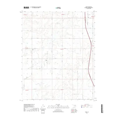
2018 Map of Scipio
USGS Topo · Published 2018About this map
Scipio and Ulan stand as the primary anchors of this rural Oklahoma landscape in Pittsburg County, connected by a network of sectional roads and the modern corridor of the Indian Nation Tpk. The terrain is defined by the winding course of Scipio Cr and Little Wildhorse Cr, which cut through the undulating hills of the Choctaw Nation's historic territory. Genealogists will find several notable burial sites including Ulan Cem near the northern boundary, as well as Hughlow Cem and Lone Grove Cem further south. The map reflects a deeply rooted agrarian community, where family names often persist in the road network, such as Hugh Low Rd and Choate Prairie Rd, marking the boundaries between historic townships like T7N R13E and T8N R13E.
Find a feature on this map
43 named features on this map. Tap any name to fly to it.
Don’t see what you’re looking for? This feature index may not catch every label — zoom into the map to look around manually.
Map Details
Editions of this 2018 Scipio Map
This is the sole edition of this map. No revisions or reprints were ever made.
Other maps of this area

1896 · Coalgate
USGS Topo · 1:125,000

1898 · McAlester
USGS Topo · 1:125,000

1899 · Coalgate
USGS Topo · 1:125,000

1900 · Canadian
USGS Topo · 1:125,000

1900 · Wewoka
USGS Topo · 1:125,000

1900 · Coalgate
USGS Topo · 1:125,000

1909 · Mc Alester
USGS Topo · 1:125,000

1946 · Fort Smith
USGS Topo · 1:250,000

1950 · Mcalester
USGS Topo · 1:250,000

1954 · Oklahoma City
USGS Topo · 1:250,000