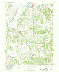
1957 Map of Scotland
USGS Topo · Published 1970About this map
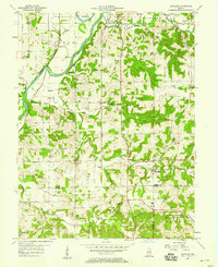
White River meanders through the northwest corner of this Greene County landscape, defining the rich alluvial soils of the Bogard Bottoms. The 1957 field check captures a rural interior transition, where small agricultural settlements like Scotland and Mineral City sit amongst a network of country churches and family cemeteries, including Simpson Chapel and Mt Zion Cem. To the southeast, the massive US Naval Reservation Crane Ammunition Depot marks a significant shift in land use, its boundary slicing through the wooded ridges and valleys. Evidence of the era's mid-century infrastructure is visible in the New York Central railroad line and a Drive-in Theater near Plummer Creek. The terrain is deeply dissected by drainages like Doans Creek and Bogard Creek, creating a complex topography of high ridges and hollows that influenced the placement of early homesteads and roads.
Find a feature on this map
65 named features on this map. Tap any name to fly to it.
Don’t see what you’re looking for? This feature index may not catch every label — zoom into the map to look around manually.
Map Details
Editions of this 1957 Scotland Map
2 editions found
Other maps of this area

1908 · Bloomfield
USGS Topo · 1:62,500

1938 · Switz City
USGS Topo · 1:24,000

1943 · Lyons
USGS Topo · 1:24,000

1943 · Epsom
USGS Topo · 1:24,000

1947 · Switz City
USGS Topo · 1:24,000

1950 · Switz City
USGS Topo · 1:24,000

1950 · Odon
USGS Topo · 1:24,000

1951 · Bloomfield
USGS Topo · 1:24,000

1953 · Indianapolis
USGS Topo · 1:250,000

1956 · Indianapolis
USGS Topo · 1:250,000