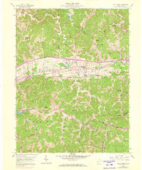
1958 Map of Scott Depot
USGS Topo · Published 1973About this map
Teays Valley forms the central corridor of this Putnam County survey, defined by the industrial and transport infrastructure of the late 1950s. The Chesapeake and Ohio railroad and the Midland Trail run parallel through the heart of the valley, supporting settlements at Teays and Scott Depot. The landscape transitions from the concentrated residential developments and water features like Teays Valley Lakes to the deeply dissected ridges of the surrounding hills.
Find a feature on this map
58 named features on this map. Tap any name to fly to it.
Don’t see what you’re looking for? This feature index may not catch every label — zoom into the map to look around manually.
Map Details
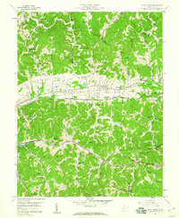
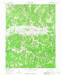
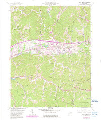
Editions of this 1958 Scott Depot Map
4 editions found
Other maps of this area

1892 · Huntington
USGS Topo · 1:125,000

1898 · Huntington
USGS Topo · 1:125,000

1899 · Charleston
USGS Topo · 1:125,000

1902 · Milton
USGS Topo · 1:62,500

1906 · Glenwood
USGS Topo · 1:62,500

1906 · Winfield
USGS Topo · 1:62,500

1908 · Glenwood
USGS Topo · 1:62,500

1908 · Winfield
USGS Topo · 1:62,500

1909 · Saint Albans
USGS Topo · 1:62,500

1931 · Saint Albans
USGS Topo · 1:62,500