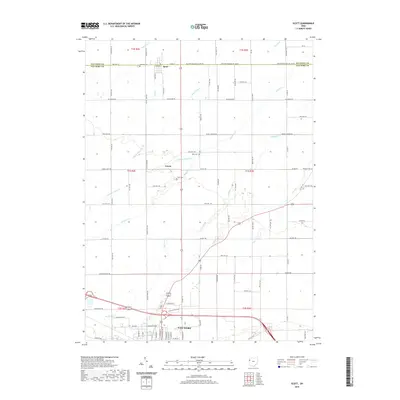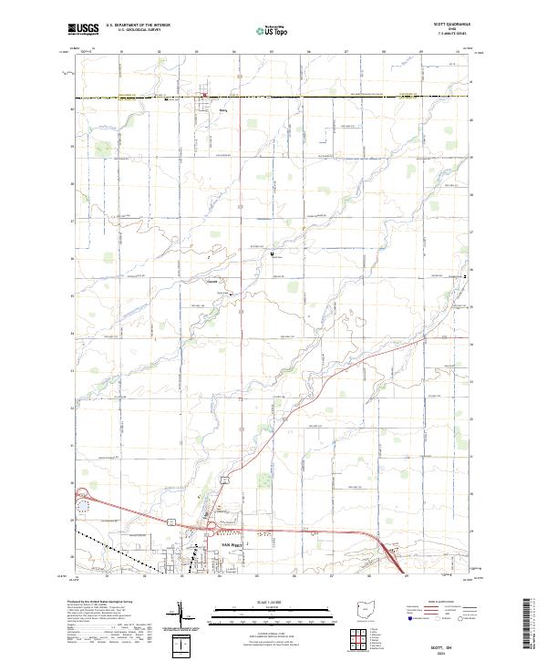
2023 Map of Scott
USGS Topo · Published 2023About this map
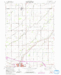
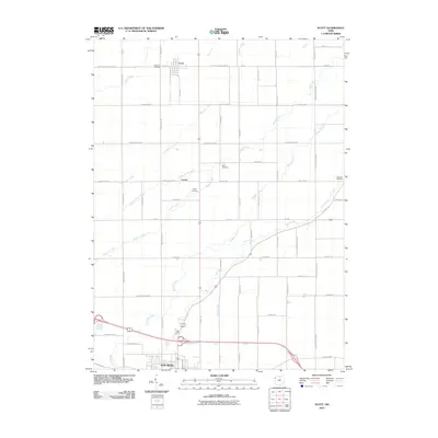
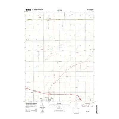
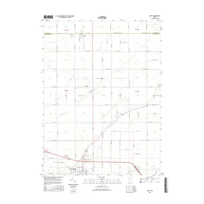
The Paulding Co Van Wert Co line bisects this portion of Northwest Ohio, defining a landscape dominated by precise section lines and a dense network of country roads. The village of Scott sits directly on the county boundary, while the northern edge of the county seat at Van Wert occupies the southern reaches of the map. This area is characterized by its drainage patterns, where small waterways like Pottawatomie Creek and Stripe Creek carve subtle paths through the agricultural grid.
Find a feature on this map
87 named features on this map. Tap any name to fly to it.
Don’t see what you’re looking for? This feature index may not catch every label — zoom into the map to look around manually.
Map Details
Editions of this 2023 Scott Map
This is the sole edition of this map. No revisions or reprints were ever made.
Historical Maps of Van Wert Through Time
6 maps found