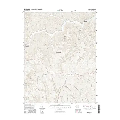
2016 Map of Scranton
USGS Topo · Published 2016About this map
Frenchburg and Scranton anchor this portion of the Daniel Boone National Forest, where the complex topography of Menifee County is defined by a dense network of hollows and ridges. The landscape is characterized by narrow creek bottoms and winding mountain roads like the Pomeroyton-Denniston Rd, connecting small communities such as Denniston, Mariba, and Wellington. Significant relief is evident in landmarks like Donathan Rock and the high elevations of Betty Gap Ridge and Fletcher Ridge.
Find a feature on this map
43 named features on this map. Tap any name to fly to it.
Don’t see what you’re looking for? This feature index may not catch every label — zoom into the map to look around manually.
Map Details
Editions of this 2016 Scranton Map
This is the sole edition of this map. No revisions or reprints were ever made.
Other maps of this area

1889 · Salyersville
USGS Topo · 1:125,000

1891 · Salyersville
USGS Topo · 1:125,000

1892 · Beattyville
USGS Topo · 1:125,000

1899 · Salyersville
USGS Topo · 1:125,000

1929 · Morehead
USGS Topo · 1:48,000

1929 · Salt Lick
USGS Topo · 1:62,500

1934 · Salt Lick
USGS Topo · 1:62,500

1935 · Morehead
USGS Topo · 1:62,500

1951 · Ezel
USGS Topo · 1:24,000

1951 · Hazel Green
USGS Topo · 1:24,000