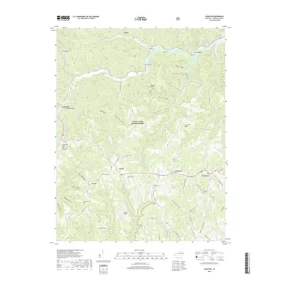
2019 Map of Scranton
USGS Topo · Published 2019About this map
Daniel Boone National Forest encompasses much of this Menifee County landscape, where deep hollows and narrow ridges dictate the patterns of rural settlement. The community of Scranton sits along the winding course of Beaver Cr, while the county seat of Frenchburg is tucked against the western edge of the quadrangle near Donathan Rock. This 2019 survey documents a network of small, family-linked settlements and cemeteries that remain central to the area's identity.
Find a feature on this map
92 named features on this map. Tap any name to fly to it.
Don’t see what you’re looking for? This feature index may not catch every label — zoom into the map to look around manually.
Map Details
Editions of this 2019 Scranton Map
This is the sole edition of this map. No revisions or reprints were ever made.
Other maps of this area

1889 · Salyersville
USGS Topo · 1:125,000

1891 · Salyersville
USGS Topo · 1:125,000

1892 · Beattyville
USGS Topo · 1:125,000

1899 · Salyersville
USGS Topo · 1:125,000

1929 · Morehead
USGS Topo · 1:48,000

1929 · Salt Lick
USGS Topo · 1:62,500

1934 · Salt Lick
USGS Topo · 1:62,500

1935 · Morehead
USGS Topo · 1:62,500

1951 · Ezel
USGS Topo · 1:24,000

1951 · Hazel Green
USGS Topo · 1:24,000