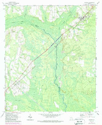
1971 Map of Screven
USGS Topo · Published 1988About this map
The Seaboard Coast Line railroad dictates the settlement pattern of this Southeast Georgia landscape, connecting the rail towns of Screven and Offerman across a complex network of wetlands and river basins. The terrain is defined by the winding course of the Little Satilla River and Big Satilla Creek, which form part of the boundary between Wayne and Pierce counties. In the southern portion of the quadrangle, the vast expanse of Zero Bay dominates the geography, fed by the smaller Sixty Foot Branch. Genealogical details are well-preserved through numerous family and community burial grounds, including the Moody Cem, Clay Hill Cem, and Offerman Cem. The presence of several sandpits and a Gaging Station near the river crossing suggests a local economy tied to natural resource extraction and water management in the early 1970s.
Find a feature on this map
28 named features on this map. Tap any name to fly to it.
Don’t see what you’re looking for? This feature index may not catch every label — zoom into the map to look around manually.
Map Details
Editions of this 1971 Screven Map
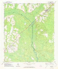
2 editions found
Other maps of this area

1918 · Jesup
USGS Topo · 1:62,500

1918 · Hortense
USGS Topo · 1:62,500

1943 · Jesup
USGS Topo · 1:62,500

1944 · Hortense
USGS Topo · 1:62,500

1946 · Brunswick
USGS Topo · 1:250,000

1948 · Brunswick
USGS Topo · 1:250,000

1953 · Waycross
USGS Topo · 1:250,000

1956 · Brunswick
USGS Topo · 1:250,000

1958 · Waycross
USGS Topo · 1:250,000

1961 · Brunswick
USGS Topo · 1:250,000