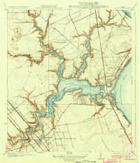
1932 Map of Seabrook
USGS Topo · Published 1932About this map
Clear Lake serves as the central focal point of this coastal survey, where the Boundary Line between Harris and Galveston counties bisects the water. This 1930s landscape reveals an active maritime and transit corridor, defined by the Dredged Channel and the Seabrook Bridge connecting the shoreline settlements. Residential and recreational clusters like Clear Lake Shores, Glen Cove, and the Clear Lake Inn reflect the area's development as a waterfront destination.
Find a feature on this map
42 named features on this map. Tap any name to fly to it.
Don’t see what you’re looking for? This feature index may not catch every label — zoom into the map to look around manually.
Map Details
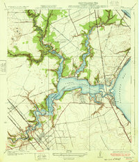
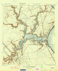
Editions of this 1932 Seabrook Map
3 editions found
Other maps of this area

1915 · Deepwater
USGS Topo · 1:24,000

1916 · Genoa
USGS Topo · 1:24,000

1916 · Morgan Point
USGS Topo · 1:24,000

1916 · Seabrook
USGS Topo · 1:24,000

1916 · La Porte
USGS Topo · 1:24,000

1919 · Morgan Point
USGS Topo · 1:31,680

1919 · Deepwater
USGS Topo · 1:31,680

1920 · Seabrook
USGS Topo · 1:31,680

1920 · Genoa
USGS Topo · 1:31,680

1920 · La Porte
USGS Topo · 1:31,680