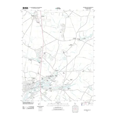
2011 Map of Seaford East
USGS Topo · Published 2011About this map
The Nanticoke River and its network of millponds and branches dominate this Sussex County landscape, illustrating the historic reliance on water power and navigation in southern Delaware. Seaford and Blades anchor the southern portion of the map, where the Conrail line crosses the water near Morgan Island. The drainage of the land is meticulously documented through named ditches and drains like Gully Camp Ditch and Ake Ditch, reflecting the agricultural engineering necessary for the region's productive farms.
Find a feature on this map
162 named features on this map. Tap any name to fly to it.
Don’t see what you’re looking for? This feature index may not catch every label — zoom into the map to look around manually.
Map Details
Editions of this 2011 Seaford East Map
This is the sole edition of this map. No revisions or reprints were ever made.
Other maps of this area

1915 · Seaford
USGS Topo · 1:62,500

1917 · Millsboro
USGS Topo · 1:62,500

1918 · Cedar Creek
USGS Topo · 1:62,500

1918 · Harrington
USGS Topo · 1:62,500

1919 · Cedar Creek
USGS Topo · 1:62,500

1938 · Cedar Creek
USGS Topo · 1:62,500

1938 · Millsboro
USGS Topo · 1:62,500

1944 · Cedar Creek
USGS Topo · 1:62,500

1944 · Millsboro
USGS Topo · 1:62,500

1944 · Seaford
USGS Topo · 1:62,500