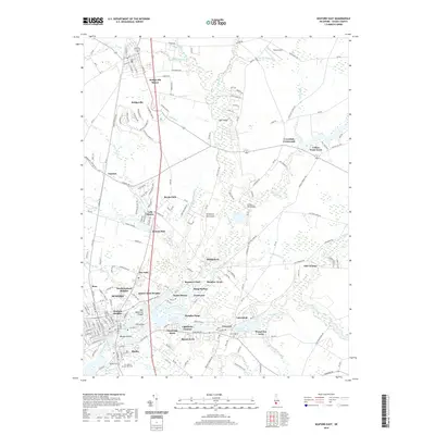
2019 Map of Seaford East
USGS Topo · Published 2019About this map
The Nanticoke River flows through the heart of this Sussex County landscape, anchoring the historic centers of Seaford and Blades. In the northern reaches, the town of Bridgeville and the Bridgeville Manor residential area sit near several water features including Bridgeville Br and Turkey Br. The map reveals a high density of small named developments and older community markers like Hearns Mill and Lightfoots Furnace, which point to a long history of water-powered industry and early iron production in the region.
Find a feature on this map
87 named features on this map. Tap any name to fly to it.
Don’t see what you’re looking for? This feature index may not catch every label — zoom into the map to look around manually.
Map Details
Editions of this 2019 Seaford East Map
This is the sole edition of this map. No revisions or reprints were ever made.
Other maps of this area

1915 · Seaford
USGS Topo · 1:62,500

1917 · Millsboro
USGS Topo · 1:62,500

1918 · Cedar Creek
USGS Topo · 1:62,500

1918 · Harrington
USGS Topo · 1:62,500

1919 · Cedar Creek
USGS Topo · 1:62,500

1938 · Cedar Creek
USGS Topo · 1:62,500

1938 · Millsboro
USGS Topo · 1:62,500

1944 · Cedar Creek
USGS Topo · 1:62,500

1944 · Millsboro
USGS Topo · 1:62,500

1944 · Seaford
USGS Topo · 1:62,500