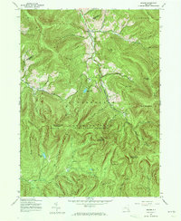
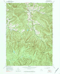
1945 Map of Seager
USGS Topo · Published 1973About this map
The high peaks and deep hollows of Catskill Park define this mid-century survey of the Hardenbergh and Shandaken region. This landscape is characterized by its steep drainages, where small settlements like Seager and Mapledale occupy the narrow valley floor of Dry Brook. On the higher elevations, the Lookout Tower atop Balsam Lake Mountain served as a critical vantage point for the forest preserve. Local genealogy is rooted in sites such as School No 4 and the Baker Cem, while family names are etched into the terrain via Tompkins Hollow and Haynes Mtn. The southern portion of the map follows the Beaver Kill and its various tributaries, including the curiously named Gulf of Mexico Brook. Notable natural features like Quaker Cave and Furlough Lake highlight the secluded character of these mountain ridges during the 1940s.
Find a feature on this map
52 named features on this map. Tap any name to fly to it.
Don’t see what you’re looking for? This feature index may not catch every label — zoom into the map to look around manually.
Map Details
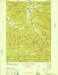
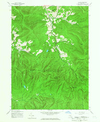
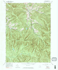
Editions of this 1945 Seager Map
5 editions found
Other maps of this area

1900 · Phoenicia
USGS Topo · 1:62,500

1901 · Margaretville
USGS Topo · 1:62,500

1903 · Phoenicia
USGS Topo · 1:62,500

1903 · Slide Mountain
USGS Topo · 1:62,500

1904 · Margaretville
USGS Topo · 1:62,500

1905 · Slide Mountain
USGS Topo · 1:62,500

1910 · Neversink
USGS Topo · 1:62,500

1942 · Neversink
USGS Topo · 1:62,500

1943 · Peekamoose Mountain
USGS Topo · 1:31,680

1943 · Monticello
USGS Topo · 1:125,000